Shibu Pass
Pass
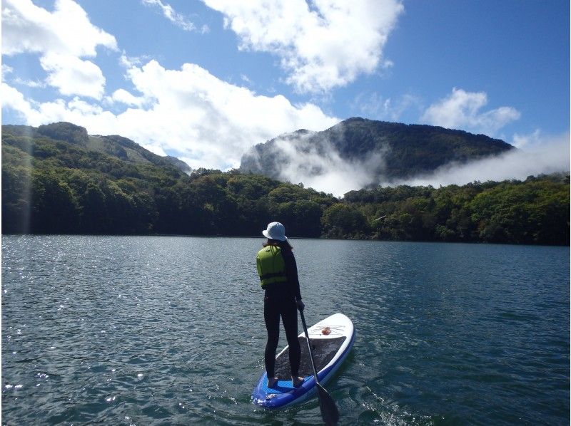
The Shibu Pass, spanning between Nagano and Gunma Prefectures boasts a stone marker indicating the highest peak over which a national highway travels; National Route 292 running between Mt. Yokote and Mt. Shirane. The view from the peak can take your breath away. It overlooks the extensive Yoshigadaira Marshlands in which the luscious green of the trees and the wetlands intermingle. At dawn, the sea of clouds, softly glowing from the rays of the sun is a glorious sight to see.
Spot details
- Address
-
Yamanouchi cho, Shimokitai-gun, Nagano Prefecture
Map
- Area
- Agatsuma Area
- Closed
- [Shiga Kusatsu Road] Mid-Nov.-Winter closed until Late Apr. * Shibutoge Hotel guests and ski resort users can also walk in Winter.
- Parking Lot
- Available (200spaces) * Closed in winter
Information Sources: NAVITIME JAPAN


![[Nagano / Shiga Kogen] Empty-handed OK! BBQ on the lakeside of the refreshing plateau ♪ Family groups are welcome!](https://img.activityjapan.com/10/33556/10000003355601_vgHBb4SB_4.jpg?version=1650788116)


